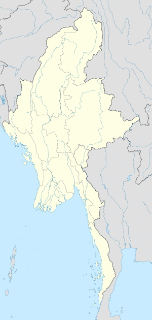
Back تاونغيي Arabic ဝေင်ꩻတောင်ႏကီꩻ BLK টাউঙ্গী Bengali/Bangla Taunggyi Catalan Taunggyi German Taunĝi Esperanto Taunggyi Spanish Taunggyi Basque تاونجی Persian Taunggyi Finnish
This article needs additional citations for verification. (March 2022) |
Taunggyi
| |
|---|---|
Capital Town | |
 A view of Taunggyi | |
| Coordinates: 20°47′N 97°02′E / 20.783°N 97.033°E | |
| Country | |
| State | |
| District | Taunggyi District |
| Township | Taunggyi Township |
| Founded | 1894 |
| Elevation | 4,712 ft (1,436 m) |
| Population | |
• Capital Town | 381,639 |
| • Urban | 264,804 |
| • Rural | 116,835 |
| • Ethnicities | Shan Pa-O Tai Burmese Chinese Burmese Indians Gurkha |
| • Religions | Christianity Buddhism Islam |
| Time zone | UTC+6.30 (MST) |
Taunggyi (Burmese: တောင်ကြီးမြို့; MLCTS: taung kri: mrui. [tàʊɰ̃dʑí mjo̰]; Shan: ဝဵင်းတူၼ်ႈတီး ဝဵင်းလူင်တႆးႁဝ်း Shan pronunciation: [weŋ˥ ton˧˧˨ ti˥]; is the capital and largest city of Shan State, Myanmar (Burma) ဝဵင်းလူင်မိူင်းတႆး and lies on the Thazi-Kyaingtong road at an elevation of 4,712 feet (1,436 m), just north of Shwenyaung and Inle Lake within the Myelat region.[2] Taunggyi is the fifth largest city of Myanmar,[3] although Taunggyi is the capital of Shan State ,[4] and has an estimated population of 380,665 as of 2014.[5] The city is famous for its hot air balloon festival held annually on the full moon day of Tazaungmon.[6]
- ^ The 2014 Myanmar Population and Housing Census The Union Report Census Report Volume 2. Department of Population, Ministry of Immigration and Population. May 2015. p. 52. Archived from the original on 2016-03-06. Retrieved 2017-05-05.
- ^ "Taunggyi | Myanmar". Encyclopedia Britannica. Retrieved 2017-10-22.
- ^ "Biggest Cities In Myanmar (Burma)". WorldAtlas. Retrieved 2017-10-22.
- ^ "တောင်ကြီးမြို့", ဝီကီပီးဒီးယား (in Burmese), 2024-05-12, retrieved 2024-08-01
- ^ "UNdata | record view | City population by sex, city and city type". data.un.org. Retrieved Apr 27, 2020.
- ^ "Taunggyi's fire balloon festival". The Myanmar Times. Archived from the original on 2017-10-22. Retrieved 2017-10-22.
